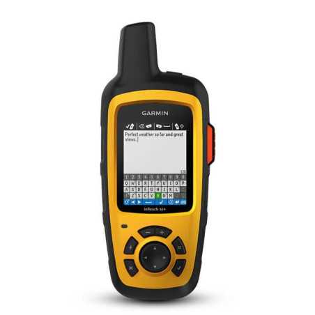
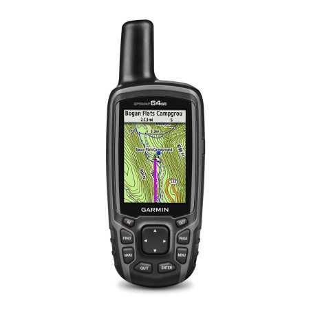
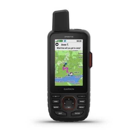
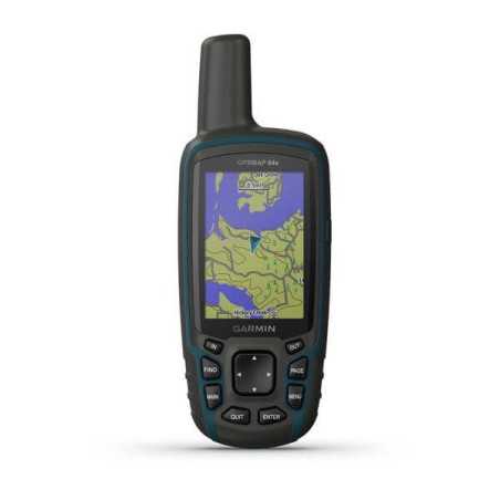
With Garmin's inReach SE + satellite technology and a subscription to satellite services, you are always reachable.
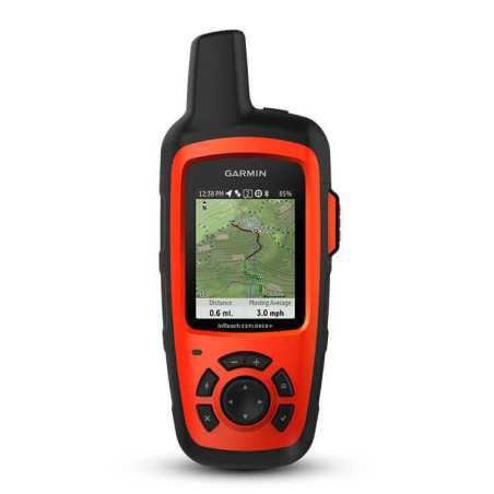
GARMIN - inReach Explorer +
Explore without borders - Communicate without limits
With the inReach satellite technology of Garmin and the subscription to satellite services you are always reachable. You can send and receive messages, follow a route, save a track, share your trip and, if necessary, launch an SOS via Iridium ® , the satellite network that guarantees 100% coverage to the world, to receive assistance from the monitoring center international 24/7
Stay connected when you need to, on land, at sea and in the air. In addition to two-way messages, inReach SE + uses GPS to provide basic navigation tools, reach waypoints, save important locations, track progress, and retrace a trail back to base. A GPS device, an interactive SOS service and two-way text messages in one single unit. New features can be accessed when paired with a mobile device.
Bidirectional messages
Xxx_194_ products with inReach technology are designed to always stay in touch with the world. The Iridium satellite network allows you to send and receive customized and predefined text messages or by email.
GPS / Navigation
All Garmin inReach products include GPS navigation options and various orientation functions; from basic functions such as simple waypoint bearing to sophisticated route indications on electronic maps, altimeter, barometer, electronic compass and much more.
Tracking and sharing on social networks
When paired with compatible inReach devices via Bluetooth ® , the free Earthmate ® app allows you to use your smartphone or tablet to send messages, track, view maps and send an SOS anywhere. Earthmate also gives you access to downloads of topographic maps, color aerial imagery and more on your smartphone
Weather forecast
Do you know the weather conditions that await you? Get forecasts directly to your inReach device and make the right decisions based on your current location or your next destination. Choose from 3 options: basic, premium and premium marine.
Professional SOS monitoring
In the event of an emergency, send an interactive SOS message to GEOS, the 24/7 emergency monitoring center. Qualified personnel are available to respond to your message, identify the location of your device and alert rescuers in your area - giving you the peace of mind knowing that help is on the way. GEOS will remain in contact with you and your emergency contacts until the situation is resolved.
Earthmate app
Earthmate is a full featured GPS navigation app with an unmatched satellite connection. With Earthmate, you can use your smartphone or tablet to access downloadable maps, US NOAA charts, full-color aerial imagery, and more. By pairing it via Bluetooth with compatible inReach products, you can use the app on your mobile device to send two-way text messages and even access your social media accounts, anywhere on the planet. The app can also associate inReach with the address book of your smartphone or tablet, so as to make communications easier.
Subscriptions: convenience meets flexibility
An active satellite subscription is required to access the Iridium satellite network for real-time tracking sharing, messaging and SOS functionality. Affordable annual contracts or monthly broadcast packages are available.


