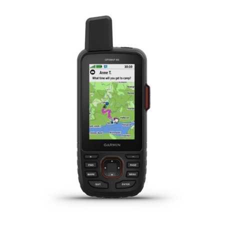
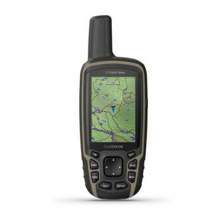
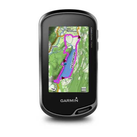
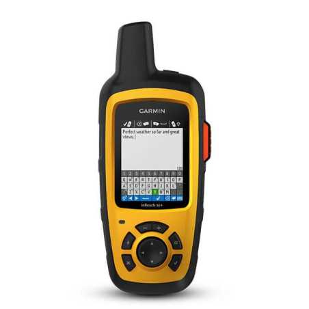
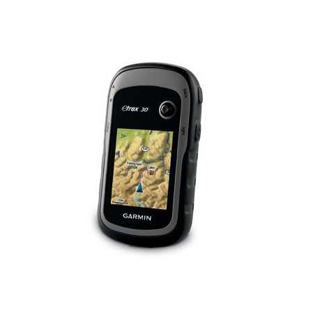
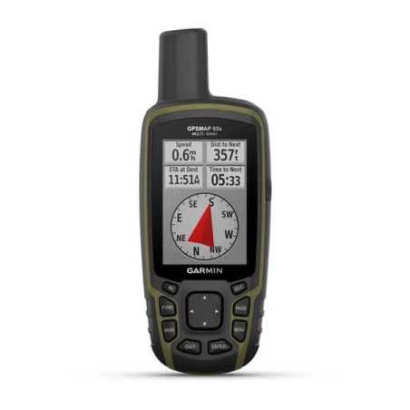
Garmin -GPSMAP 66i, satellite GPS + satellite communication
The Garmin GpsMap 66i is the perfect satellite navigator that meets satellite communication. An absolutely complete satellite apparatus that reaches an autonomy of 200 h.
The GpsMap 66i thanks to inReach technology allows you to always be connected with two-way messaging.
HIGH SENSITIVITY GPS RECEIVER |
DIMENSIONS | 6.6 x 16.3 x 3.5 cm |
SCREEN SIZE, WXH | 3.8 x 6.3 cm; 3 "diagonal (7.6 cm) |
SCREEN RESOLUTION, LXH | 240 x 400 pixels |
TYPE OF SCREEN | Transflective color TFT |
WEIGHT | 241 g |
BATTERY | Rechargeable lithium-ion |
BATTERY LIFE | Up to 200 hours in expedition mode, up to 35 hours in standard mode |
WATERPROOF CLASSIFICATION | IPX7 |
MIL-STD-810 | yes (temperature, shocks, water) |
INTERFACE | high speed micro USB and NMEA 0183 compatible |
MEMORY / HISTORY | 16 GB |
Sensors |
GPS |
GALILEO |
BAROMETRIC ALTIMETER |
COMPASS | Yes (tilt-compensated, 3-axis) |
GPS COMPASS (IN MOTION) |
InReach® functionality |
INTERACTIVE SOS |
SEND AND RECEIVE TEXT MESSAGES TO SMS AND E-MAIL ADDRESSES |
SEND AND RECEIVE TEXT MESSAGES TO OTHER INREACH DEVICES |
EXCHANGE POSITIONS WITH OTHER INREACH DEVICES |
MAPSHARE COMPATIBLE WITH DETECTION |
VIRTUAL KEYBOARD FOR CUSTOM MESSAGES |
SEND WAYPOINTS TO MAPSHARE DURING THE JOURNEY |
SEND SELECTION OF ROUTES TO MAPSHARE DURING THE TRIP |
COMPATIBLE WITH INREACH® |
Connections |
WIRELESS CONNECTIVITY | yes (Wi-Fi®, BLUETOOTH®, ANT + ®) |


