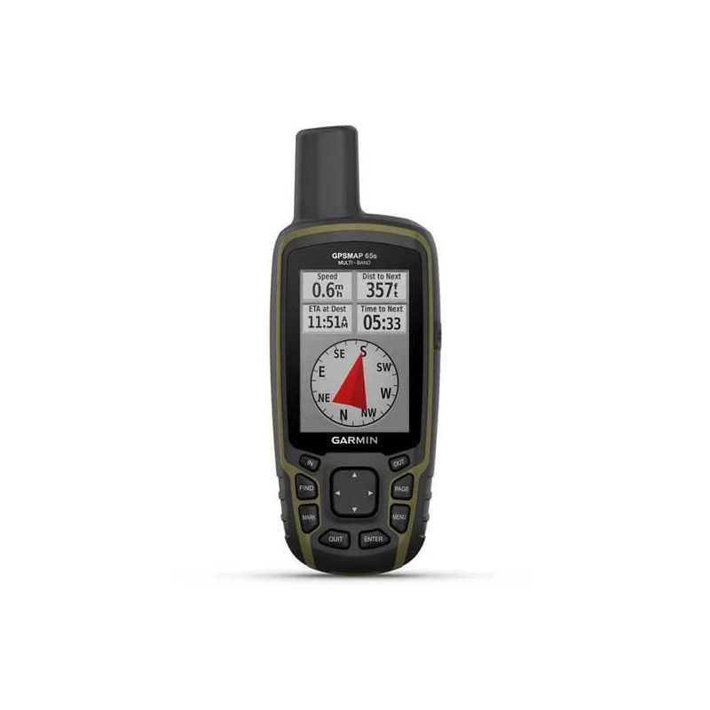
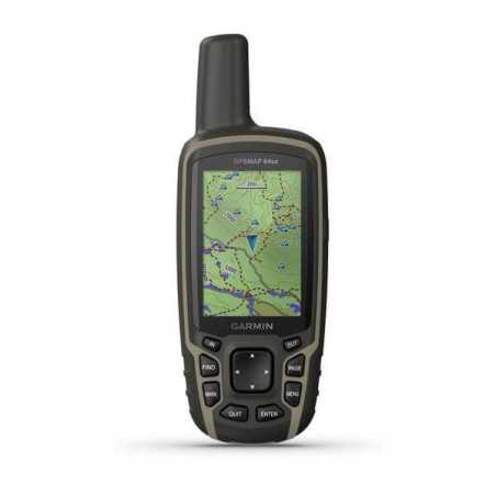
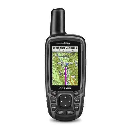
Multiband / multi-GNSS portable navigator with Altimeter, Barometer, Compass and TopoActive Europe map sensors .
The support of multi-band technology and GNSS (GPS, GLONASS, Galileo, QZSS and IRNSS) provides optimal accuracy in areas with poor reception, in the city or in open spaces with the presence of obstacles.
Features
| DIMENSIONS | 6.1 x 16.0 x 3.6 cm |
|---|
| SCREEN SIZE, WXH | 3.6 x 5.5 cm; 2.6 inches diagonal (6.6 cm) |
|---|
| SCREEN RESOLUTION, LXH | 160 x 240 pixels |
|---|
| TYPE OF SCREEN | 65k color transflective TFT touchscreen |
|---|
| WEIGHT | 217 g with batteries |
|---|
| DRUMS | 2 AA batteries (not included); NiMH or lithium recommended |
|---|
| BATTERY LIFE | 16 hours |
|---|
| WATERPROOF CLASSIFICATION | IPX7 |
|---|
| INTERFACE | Compatible with NMEA 0183 and mini USB high speed |
|---|
| MEMORY / HISTORY | 16 GB (user space varies based on included maps) |
|---|
Maps and memory |
| PRELOADED CARTOGRAPHY | Yes (TopoActive Europe; navigable) |
|---|
| ADDITIONAL CARTOGRAPHY | |
|---|
| WORLD BASEMAP | |
|---|
| AUTOMATIC ROUTE CALCULATION (WITH PRECISE INDICATIONS OF TURNS) | |
|---|
| MAP SEGMENTS | 3 |
|---|
| BIRDSEYE | 250 BirdsEye satellite imagery files |
|---|
| INCLUDES DETAILED HYDROGRAPHIC INFORMATION (COAST LINES, BANKS OF RIVERS / LAKES, MARSHES AND PERENNIAL AND SEASONAL WATER COURSES) | |
|---|
| INCLUDES SEARCHABLE POINTS OF INTEREST (PARKS, CAMPEGGI, PANORAMIC POINTS AND PICNIC AREAS) | |
|---|
| ALLOWS TO VIEW NATIONAL, STATE AND LOCAL PARKS, FORESTS AND NATURAL RESERVES | |
|---|
| STORAGE AND FEEDING CAPACITY | Yes (32GB max microSD ™ card) |
|---|
| POSITIONS THAT CAN BE STORED | 5 |
|---|
| TRACES | 200 |
|---|
| TRACK LOG | 10,000 points, 200 saved tracks |
|---|
| ROUTES THAT CAN BE STORED | 200, 250 points per route; automatic route calculation 50 points |
|---|
Sensors |
| HIGH SENSITIVITY GPS RECEIVER | |
|---|
| GPS | |
|---|
| GLONASS | |
|---|
| GALILEO | |
|---|
| QZSS | |
|---|
| BAROMETRIC ALTIMETER | |
|---|
| COMPASS | Yes (tilt-compensated, 3-axis) |
|---|
| GPS COMPASS (IN MOTION) | |
|---|
| MULTI-BAND FREQUENCY SUPPORT | |
|---|
Smart daily functions |
| SMART NOTIFICATION ON THE HANDHELD DEVICE | |
|---|
| VIRB ™ REMOTE CONTROL | |
|---|
| COMPATIBLE WITH GARMIN CONNECT ™ MOBILE | |
|---|
Functions for outdoor activities |
| POINT TO POINT NAVIGATION | |
|---|
| COMPATIBLE WITH BASECAMP ™ | |
|---|
| AREA CALCULATION | |
|---|
| CALENDAR FOR HUNTING AND FISHING | |
|---|
| Ephemeris | |
|---|
| SUITABLE FOR GEOCACHING | Yes (computerized) |
|---|
| COMPATIBLE WITH CUSTOM MAPS | Yes (500 custom map tiles) |
|---|
| IMAGE VIEWER | |
|---|
External applications |
| COMPATIBLE WITH THE GARMIN EXPLORE ™ APP | |
|---|
| COMPATIBLE WITH THE GARMIN EXPLORE WEBSITE | |
|---|
Connections |
| WIRELESS CONNECTIVITY | Yes - Bluetooth ® , ANT + ® |
|---|

