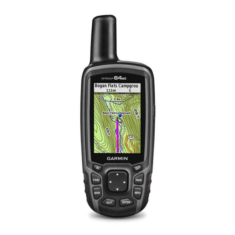
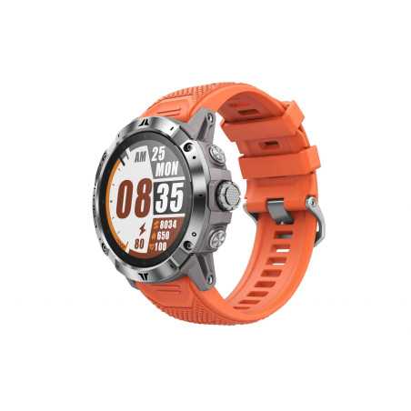
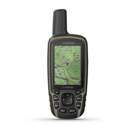
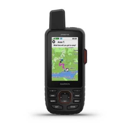
Device with functions dedicated to the outdoor world with GPS + GLONASS receiver, wireless connectivity and preloaded Europe map. TrekMap Italia included in the new version 4.
Warranty GARMIN ITALY.
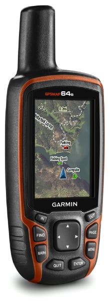
GARMIN - GPSMAP 64s + TrekMap ITA v4
Device for all weather conditions with functions dedicated to the outdoor world with GPS, GLONASS integrated wireless connectivity
Warranty GARMIN ITALY.
- 2.6 "anti-glare color screen
- High sensitivity GPS and GLONASS receiver with quad helix antenna
- Barometric altimeter and 3-axis compass
- Dual battery system optimized for outdoor activities
- Wireless connectivity via Bluetooth®¹ or ANT + ® technology
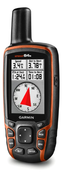
The new GPSMAP® 64s hiking navigation device has a 2.6 "anti-glare screen and a highly sensitive GPS and GLONASS receiver with a quad helix antenna for better reception. The rugged and waterproof GPSMAP® 64s is equipped with a barometric altimeter and a three-axis compass. Connects wirelessly to your smartphone to enable use of real-time tracking and tracking and Smart Notification² functions.
Maintaining the position
With the quad helix antenna, high sensitivity GPS and GLONASS receiver, GPSMAP® 64s fixes the position quickly and accurately and maintains it in areas covered by dense forests and in areas with deep valleys and large reflective surfaces. The advantage is obvious: even in the thick of a forest or simply near very tall buildings, the GPSMAP® 64s will be able to work out the most appropriate route.
Perfect orientation
GPSMAP® 64s has a built-in electronic compass with 3-axis tilt compensation that shows your heading even when you are not moving or in a vertical position. The barometric altimeter keeps track of changes in pressure indicating the altitude; Additionally, you can use it to track atmospheric pressure over time and observe any changes in weather conditions.
Stay connected
Share your outdoor excursion in real time; just connect the GPSMAP® 64s to your smartphone and share your location with friends and family via Live Track and Garmin Connect ™. Smart notifications allow you to wirelessly receive email or text messages and alerts.
The perfect solution for outdoor activities
GPSMAP® 64s is an ideal GPS device for outdoor activities; all functions are designed to ensure maximum reliability in the most hostile environments. To ensure better readability in all conditions, the GPSMAP® 64s has a bright 2.6 "anti-glare color screen and can be easily used with any type of glove thanks to the push-button user interface. For maximum comfort and freedom The dual battery system allows you to directly power the instrument with rechargeable or 2 AA batteries. GPSMAP® 64s has an autonomy of up to 16 hours.
Terrain exploration
GPSMAP® 64s includes a full set of navigation features. You can use waypoints, tracks and routes to safely navigate the less traveled paths and, when you want to go home, just let TracBack guide you.
Wireless sharing
Share with other compatible devices: waypoints, tracks, routes and geocaches via the wireless network just press "send" to transfer the information to another Garmin wireless device. The GPSMAP® 64s also connects to compatible Garmin devices, including the VIRB ™ action camera, acting as an actual remote control, and to sensors such as the tempe ™ external temperature sensor, heart rate monitor, or speed and cadence bike sensor.
Additional maps
Adding more maps to the GPSMAP® 64s is easy with Garmin's wide range of topographic, marine and road maps. With 4GB of preloaded memory and a microSD card slot, you can load our topographic maps such as TrekMap® Italia V3 PRO or Garmin City Navigator NT® road maps and hit the road, GPSMAP® 64s also supports BirdsEye ™ Select and moreover, it is compatible with the Custom Map of Garmin: the conversion mode from a paper format to an electronic format that can be read on the device.
Fun
GPSMAP® 64s thanks to the 250,000 caches already preloaded with hints and descriptions imported from Geocaching.com, allows you to play new and exciting treasure hunts. GPSMAP® 64s stores and displays key information such as location, terrain and difficulty of the route and your exits. Compact and lightweight, the 64s is the perfect companion for outdoor activities.
Planning the next trip
Plan your next adventure with free Garmin BaseCamp ™ software that allows you to view and organize maps, tracks, routes, waypoints and routes. Garmin BaseCamp ™ also allows you to tell the story of your latest outdoor excursion in a whole new way by creating a story board with Garmin Adventures to share with friends and other explorers. BaseCamp ™ displays topographic map data in 2D or 3D on your computer screen, including dimension lines and elevation profiles.
¹ GPSMAP® 64s is a Bluetooth® Smart device and can be synchronized wirelessly with compatible Bluetooth® Smart Ready phones. Contact the manufacturer to check the compatibility of your SmartPhone. The Bluetooth® word mark and logos are registered trademarks owned by the Bluetooth SIG, Inc.
² Real-time detection via Garmin Connect Mobile application and Smart Notification with iPhone® 4s or later iPhone is a trademark of Apple Inc., registered in the US and other countries.

